ABot-Earth 0.5 Generates Realistic 3D Earth Models from Satellite Imagery
Sonic Intelligence
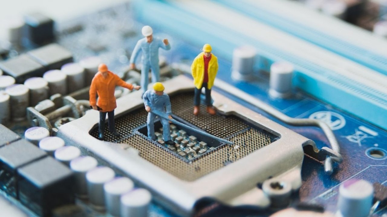
ABot-Earth 0.5 creates realistic 3D environments from satellite data.
Explain Like I'm Five
"Imagine taking a regular satellite picture of a city and, in just a few minutes, turning it into a super realistic 3D model that you can fly through on your computer, like a video game. This helps robots learn to navigate in the real world."
Deep Intelligence Analysis
The context for this development is the burgeoning field of Embodied AI, where intelligent agents, particularly robots and autonomous vehicles, require highly realistic and scalable simulation environments to train and test their capabilities. A major hurdle in this domain is the 'sim-to-real' gap, where discrepancies between simulated and real-world physics or appearances hinder effective transfer of learned behaviors. ABot-Earth 0.5 directly mitigates this gap by providing ultra-low-cost, high-efficiency, and high-fidelity 3D environments. Its training on diverse real-world urban reconstructions ensures the generated geometry and textures are highly realistic, further enhancing the utility for applications like closed-loop UAV navigation.
Forward implications are substantial, particularly for industries requiring extensive 3D mapping and simulation. The framework's accessibility, coupled with integrated hierarchical level-of-detail (LOD) structures for web-based visualization, democratizes access to advanced 3D modeling. This could accelerate the development of autonomous systems by providing an affordable and scalable sandbox for training and validation. Beyond robotics, applications could extend to urban planning, environmental monitoring, virtual reality, and digital twin initiatives, enabling more dynamic and comprehensive digital representations of the physical world. The economic impact of reducing the technical and financial barriers to large-scale 3D reconstruction is poised to be transformative, fostering innovation across numerous sectors.
Visual Intelligence
flowchart LR
    A[Satellite Imagery] --> B[Generative Model]
    B --> C[3D Gaussian Splatting]
    C --> D[Realistic 3D Environment]
    D --> E[Real-time Visualization]
    E --> F[Embodied AI Applications]
Auto-generated diagram · AI-interpreted flow
Impact Assessment
This framework significantly lowers the cost and increases the efficiency of large-scale 3D environment reconstruction. By mitigating the 'sim-to-real' domain gap, it enables critical Embodied AI applications like UAV navigation, offering an ultra-low-cost solution for high-fidelity simulation.
Key Details
- ABot-Earth 0.5 is a generative 3D framework synthesizing environments from satellite imagery.
- It uses 3D Gaussian Splatting (3DGS) representation for fast synthesis and real-time visualization.
- The model is trained on real-world urban reconstructions to generate realistic geometry and textures.
- It synthesizes novel 3D scenes at under 10 minutes per square kilometer.
- Integrated hierarchical level-of-detail (LOD) structures enable real-time, interactive visualization on web-based map engines.
Optimistic Outlook
ABot-Earth 0.5 could revolutionize industries reliant on 3D mapping and simulation, from urban planning and autonomous vehicle development to gaming and virtual tourism. Its speed and cost-effectiveness will accelerate the creation of digital twins for vast areas, fostering innovation in robotics, logistics, and environmental monitoring.
Pessimistic Outlook
Despite its advancements, the realism and accuracy might still fall short for highly sensitive applications requiring absolute precision. Potential for misuse in surveillance or military applications also exists. The reliance on existing satellite imagery means inherent limitations in capturing dynamic changes or interior structures.
Get the next signal in your inbox.
One concise weekly briefing with direct source links, fast analysis, and no inbox clutter.
More reporting around this signal.
Related coverage selected to keep the thread going without dropping you into another card wall.